01 About project
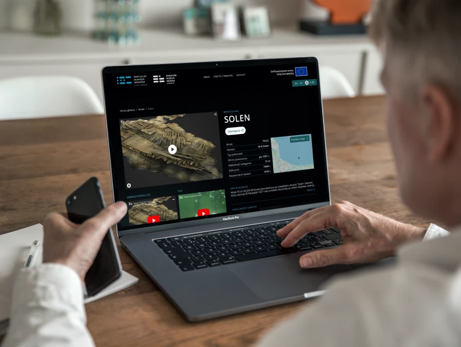
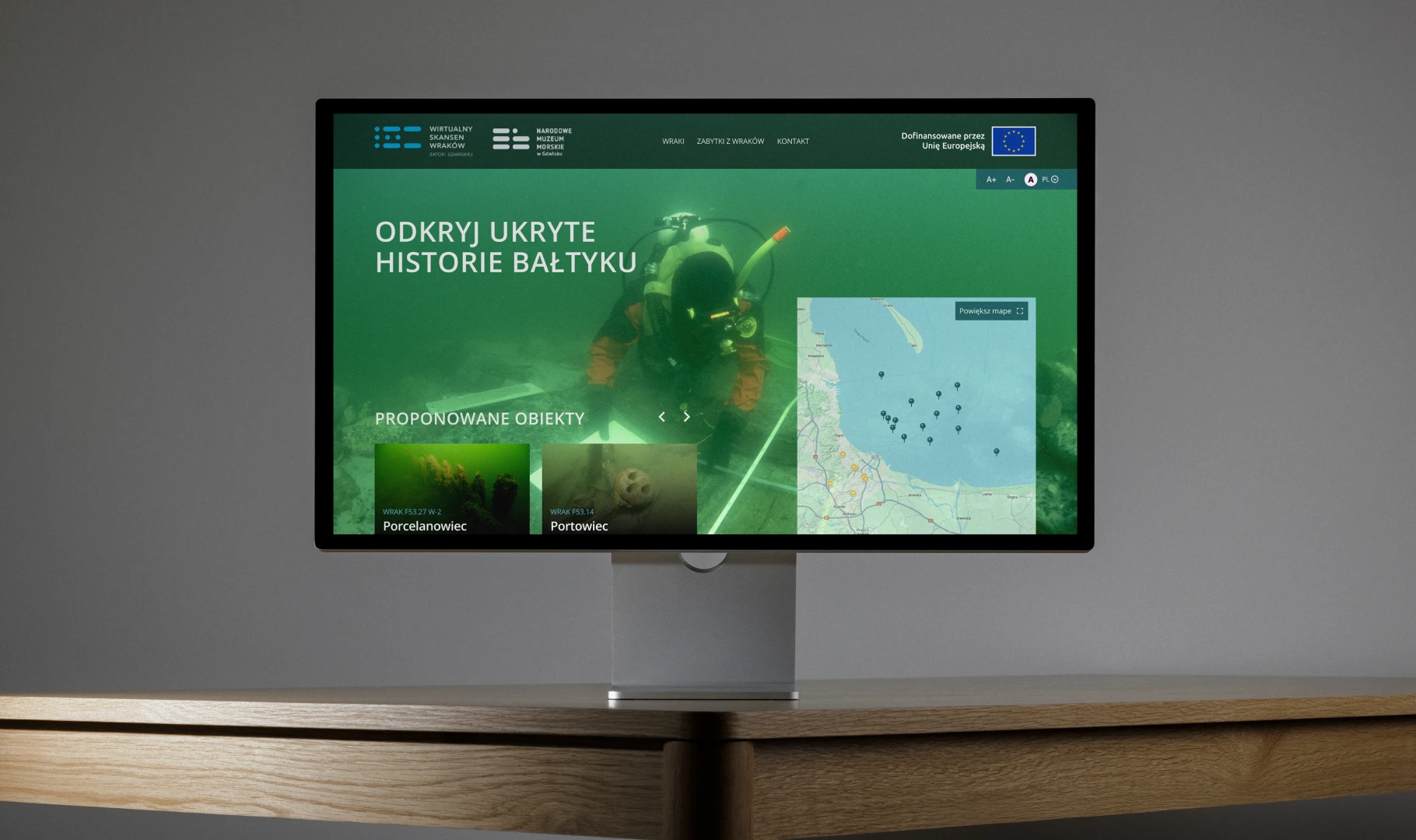
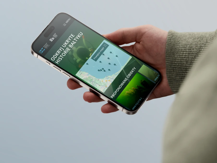
What sits on the bottom of the Baltic rarely reaches the public. The National Maritime Museum in Gdańsk wanted to change that. We designed a website that brings those discoveries to the public: an interactive map showing where each object was found, and detailed object pages with photographs and 3D reconstructions. It turns archive material into something anyone can explore, and gives the museum a digital presence built around its underwater heritage.
02 Challenges
The museum's underwater discoveries lived in archives and expert documentation — valuable, but hard for the public to reach. The challenge was to turn scattered finds, locations and reconstructions into one clear, explorable story without losing the depth that makes the collection matter.
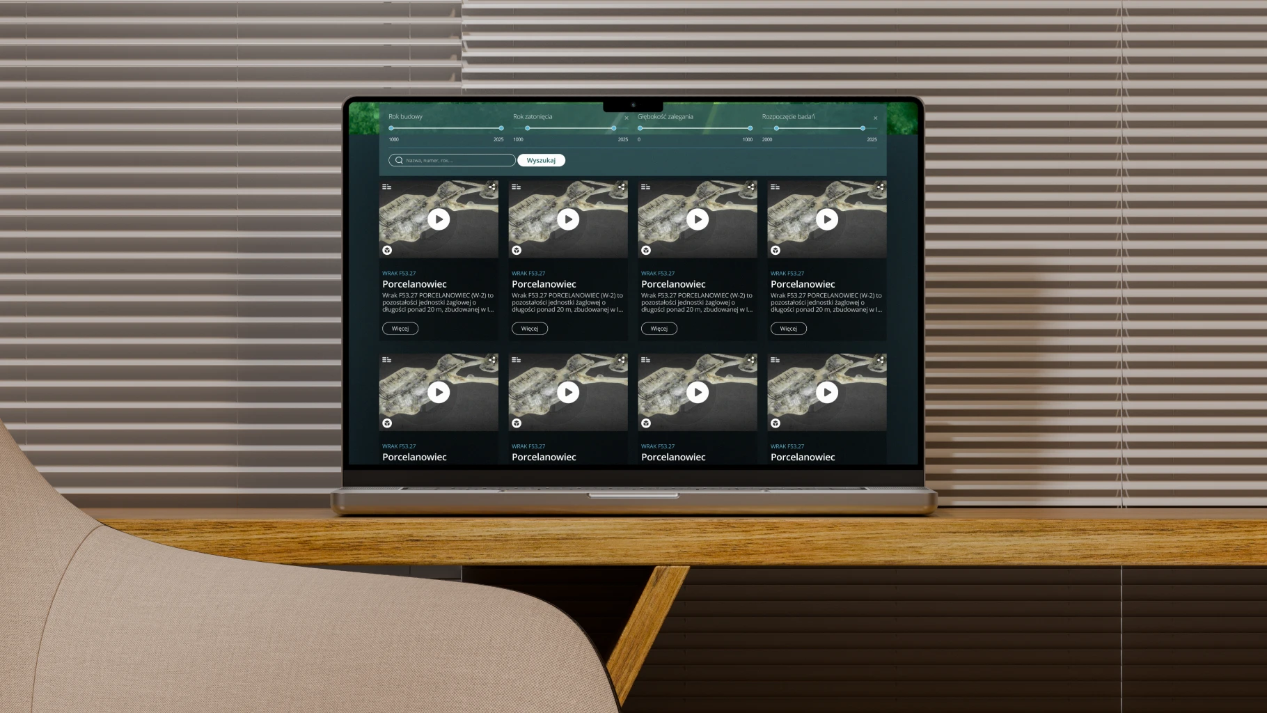
Each object carries its own history, position on the seabed and conservation record. We had to present all of it in a structure that a casual visitor and a researcher could both navigate — with strong visual hierarchy, readable object pages, and a map that ties every find to where it was discovered.
03 Solutions
We built an immersive, map-led experience. A map of the Baltic marks where each object was found, so visitors start from the place and the discovery, then move into individual objects, photographs and reconstructions.
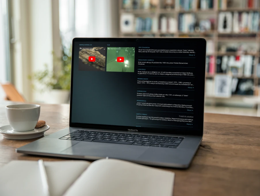
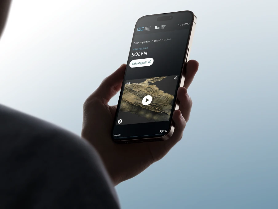
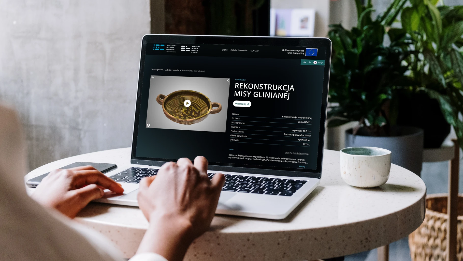
A dark, underwater visual language puts the artefacts in the foreground. Object pages combine images, 3D and video reconstructions and concise descriptions, so anyone can understand what was found, where, and why it matters — with no prior knowledge needed.
04 Design Process
We started from the visitor journey — how someone with no background in maritime archaeology would discover, browse and understand the collection — and shaped the structure, the map and the object pages around it.
Through iterative layout testing and careful work on typography, contrast and imagery, we refined it into a cohesive site that reflects the museum's identity and makes its underwater discoveries simple to explore.